Relaxed casual all day tour to the best of what Cape Cod has to offer contain in the latest 2021 route. Repeated multiple times in 2016, 2017, & 2020.
This turned out to be a hugely popular ride for good reasons: train, ferry, bicycle path, farmers’ market, salt water taffy, ice cream, bakeries, lighthouses, & many beaches to dip in.
Despite the long distance of 100km, the ride could be complete by intermediate riders given the long day, mostly flat terrain, several breaks, & many supplies of freshly baked goods.
The ride starts from Boston South Station on Cape Flyer train to Hyannis, bicycle to Provincetown, then return by ferry to Boston.
Beat the Ferry
Advanced twist on Cape in a Day with new routes, trails, coastal views, bakeries, & a long distance challenge.

Often the start was limited by train schedule. Then we had to keep reasonable average speed to arrive in Provincetown with enough time for a dip, dinner, & ferry.
2021
Two groups joined this ride. One started in Boston for the day. Another was on a Summit to Sea tour from Greylock to Provincetown over three days. We met at Hyannis train station. Navigated out of town to reach the bicycle trail in 5km.
Stops along the way:
- 29km optional snack at Eat Cake 4 Breakfast bakery
- 37km lunch stop at Corner Store for burritos
- 44km Nauset roller coaster trail
- 47km dip in Coast Guard beach
- 49km Nauset lighthouse
- 49.5km Three Sisters lighthouses
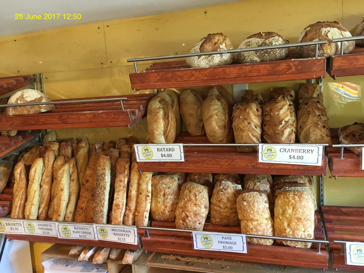
- 58km PB Boulangerie for Praline Croissant:

- 76km optional stop at Jam’s market
- 83km Highland lighthouse
- 86km Head of the Meadows trail
- 98km Province Lands roller coaster trail
- 104km dip in Herring Cove beach
Finished with a picnic on the beach: food from Lobster Pot Express, cider from Big Vin’s liquor store, & salt water taffy from Cabot’s Candy.

Recorded 13 June 2021 6:27 on Garmin & posted on Strava ➡️108.30km ⏩15.6km/h 🔄6:56:32 ⬆️708m ↗️7m/km 📶26.0ºC ⏬KML & GPX:

2020
We took on a double challenge this year: most of the group took the classic leisurely route from Hyannis–Provincetown for 100km. A few opted to double that for 200km starting in Bourne, Shining Sea trail to Woods Hole, Hyannis, & Provincetown.
Route this year adjusted slightly to start the Cape Cod rail trail soon after leaving Hyannis & include Highland light & Meadow Trail:

Recorded 4 July 2020 6:33 on Garmin & Strava ➡️201.43km ⏩20.7km/h 🔄9:45:00 ⬆️1,221m ⬇️1,221m ↗️6m/km 📶20.4ºC ⏬KML & GPX:

2017
It was a beautiful day to bicycle Cape Cod with a wonderful group. We got to enjoy all the fun stops like last year, burrito lunch at Corner Store, & dip in Coast Guard beach.
We restored our energy with chocolate almond croissant at PB Boulangerie, so we ready for the hills. In Provincetown, many went for another dip at Herring Cove beach:

Recorded 5 August 2017 10:35 on Garmin Edge 820 ➡️101.62km ⏩12.9km/h 🔄7:53:30 ⬆️617m ⬇️585m ↗️6m/km 📶22.0ºC ⏬KML & GPX.
2016
Our large group boarded the Cape Flyer train at 8:00 from Boston South station, arriving Hyannis at 10:20. I purchased a ticket while on the train using MBTA mTicket app for $22.00.

We gathered briefly to coordinate our departure out of town before heavy traffic hits the roads. The area around Hyannis was somewhat busy with traffic until we reached the Cape Cod Rail Trail.
We had a quick break in Nickerson State Park where they have restrooms, water faucet, & picnic benches.
The group was getting hungry around lunch hour. We attempted to hit the trail fast to buy some food at Orleans Farmers’ Market, but it had closed by the time we arrived. Instead, we spread between burrito at The Corner Store, Guapo’s Tortilla Shack, & Cottage Street Bakery:

Nearby we stopped at Jonathan Young Windmill:

Outer Cape
We took a detour to Nauset Beach for a water dip, which was closed for repair from erosion. Instead, we visited Nauset light:

And the Three Sisters:

We returned to the trail until its end to stop by PB Boulangerie for almond chocolate croissant:
There was an alternate opportunity for water dip as we left the bakery at Lecount Beach. So I jumped in for a few moments.
The road was rolling hills from that point through Wellfleet until Truro, where we had a group stop at Jams general store. It was a fast ride from here to our destination in Provincetown.
Provincetown
Those of us who did not have enough of the day went on a short scenic loop around Province Lands trail:

That gave me a second chance for water dip at Herring Cove Beach:

Before leaving Provincetown, I had to make two stops at Cabot’s Candy for water taffy:

Portuguese Bakery for hazelnut Nutella cake:

Most of us sailed on the ferry at 19:30 to arrive Boston at 21:00. Purchasing the ticket & bicycle pass in advance was required as this ferry was later sold out.

Recorded 25 June 2016 10:37 on Garmin Edge 1000: ➡️107.08km ⏩13.2km 🔄8:06:01 ⬆️622m ⬇️626m ↗️6m/km 📶23.9ºC ⏬KML & GPX.

Leave a comment